
























Share the post “Pakistan’s 12-Province Debate Is Real. The Viral Maps and GDP Numbers Are Not the Government’s Plan”
Pakistan Has Changed Its Map Before — And It Was Not Done With Canva
The supplied historical PATA/FATA map is useful here because Pakistan already possesses a recent precedent for major internal territorial restructuring.
In 2018, the Twenty-Fifth Constitutional Amendment merged the Federally Administered Tribal Areas into Khyber Pakhtunkhwa and integrated the relevant Provincially Administered Tribal Areas with their respective provinces. It required parliamentary legislation, constitutional amendment, provincial endorsement, changes in representation, administrative integration and eventually financial integration.
That is what changing Pakistan’s internal constitutional geography actually looks like.
Article 239 makes the hurdle explicit. A constitutional amendment requires two-thirds of the total membership of each House of Parliament, and where an amendment alters the limits of a province it cannot be presented for presidential assent unless the affected provincial assembly has itself approved it by at least two-thirds of its total membership.
Therefore nobody is simply waking up tomorrow morning and slicing Sindh, Punjab, KP or Balochistan into whatever configuration performed best on X overnight.
A genuine restructuring requires political consensus on a scale Pakistan rarely achieves.
What About Kashmir and Junagadh on the 24-Province Graphic?
There is another important distinction here.
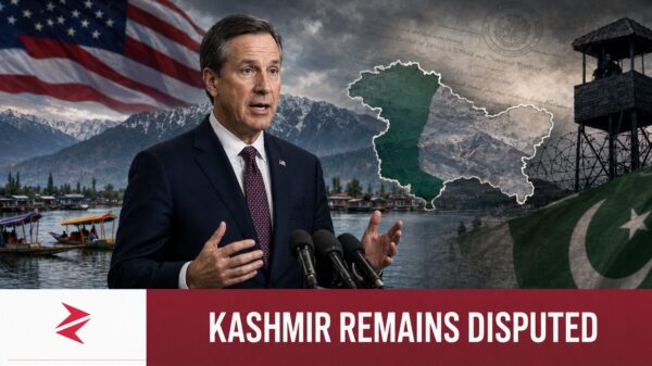
The appearance of Kashmir and Junagadh in an unofficial administrative graphic does not make that particular graphic official. However, neither should international readers mistake those names for inventions created by the anonymous designer.
Pakistan’s official political map published by the Survey of Pakistan depicts Jammu and Kashmir as disputed territory whose final status remains to be determined in accordance with relevant UN Security Council resolutions, and it includes Junagadh and Manavadar in its official cartographic presentation. The Foreign Office has separately maintained that Pakistan’s Junagadh claim rests upon the 1947 Instrument of Accession signed by the Nawab and accepted by Pakistan.
Those are established Pakistani state positions.

What is not established is the viral document’s proposal to label Kashmir and Junagadh “Allied States” inside a new four-tier constitutional framework.
These are completely different propositions, and serious Pakistan-first analysis should be confident enough to distinguish between them.
Patriotism does not require us to authenticate a random infographic. In fact, doing so weakens Pakistan’s legitimate positions because easily disproved exaggeration gives hostile audiences an excuse to dismiss facts alongside fiction.
And What Does Pakistan’s Economy Have To Do With Any of This?
Quite a lot.
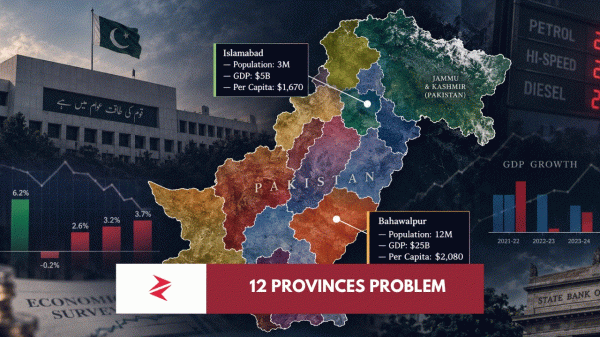
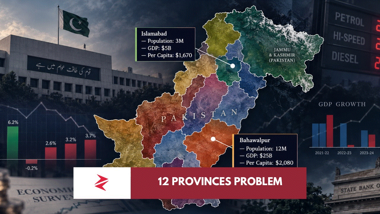
The economic graphs accompanying the debate show another reason Pakistanis are suspicious of institutional redesigns. PBS’s latest national-account revisions put real GDP growth at 5.77% in FY2020-21, 6.18% in FY2021-22, -0.21% in FY2022-23, 2.62% in FY2023-24, 3.18% in FY2024-25 and a provisional 3.70% in FY2025-26.